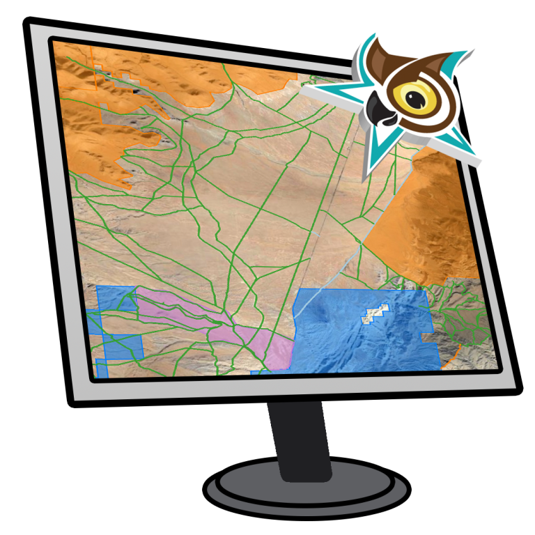
Covering an area of 101+ million acres, and 57,000+ miles of trails across 37,000+ routes, OwlsheadGPS is the most comprehensive OHV trail network available to the general public.
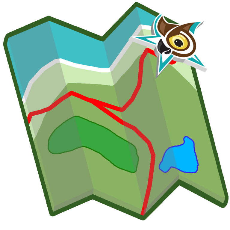
We recommend the free Avenza Maps App for taking your route files on the go. See our guide for importing route files to Avenza Maps here. Avenza Maps is available on IOS and Android devices.
OwlsheadGPS Data includes agency-sourced OHV route data from participating land management agencies in California, designed for you, the outdoor enthusiast.
Stay On Our Trails... Save Our Trails
You love exploring California’s OHV trails, and so do we. Respect the rules so that our trails stay open.